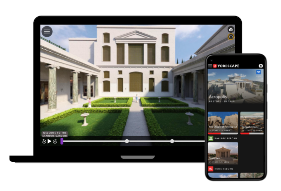
Travel back in time and experience a unique aerial tour of the entire city of ancient Rome as it appeared in the fourth century of our era. See the great monuments, like the Colosseum, the Roman Forum, the Imperial palace, and the Baths of Caracalla.
Read More

- Description
- Languages
- Credits
- Bibliography
Flyover Zone takes you on a unique aerial tour of the entire city of ancient Rome as it appeared in the fourth century of our era. This was the moment when the city reached its height in terms of population and the number of buildings and monuments. Prof. Bernard Frischer, an expert on the archaeology of Rome and its environs, is your guide. Listen to him explain sites exemplifying the city’s geography, markets, temples, and much, much more. See eleven Time Warps spread around the city that allow you to toggle between the view today and the view from the same vantage point in antiquity.
This newly remastered edition of the tour uses the brand-new version 4.0 of Rome Reborn, the urban reconstruction model of the city of Rome developed by Prof. Frischer and Flyover Zone since 1997. Compared to the original edition of the tour, which used version 3.0 of the model and was released in 2018, it offers more realistic graphics, more time warps, and many more up-to-date and detailed models of structures such as the Colosseum, the Pantheon, the Mausoleum of Augustus, the Basilica of Maxentius, the imperial palaces, and the temples and monuments on the Capitoline Hill.
Audio: English
Subtitles: English
Producer:
Bernard Frischer
Associate Producer:
Alberto Prieto
Tour Guide/Narration:
Bernard Frischer
Scientific Advisors:
Amanda Claridge
Bernard Frischer
Paolo Liverani
Alberto Prieto
C. Brian Rose
Russell Scott
Barry Strauss
Pier Luigi Tucci
Script:
Bernard Frischer
Director of Historical Art:
Mohamed Abdelaziz
Director of 3D Modeling:
Lasha Tshkondia
3D Modeling:
Mohamed Abdelaziz
Yuri Alogna
Davide Angheleddu
Lasha Tshkondia
Image Credits:
The panoramic photographs used in Time Warps 1, 2, 3, and 12 are copyright 2023 Flyover Zone, Inc.
The panoramic photographs used in Time Warps 4, 5, 6, 7, 8, 9, 10, and 11 are copyright AirPano.com.
The Landsat 5 TM satellite image (stop 21) is courtesy of the U. S. Geological Survey.
The line drawing of the Forma Urbis map of Rome (stop 9) is courtesy of Amanda Claridge, Rome: An Oxford Archaeological Guide, 2nd edition (Oxford 2010), page 171, figure 65.
Created By:
Flyover Zone
Special Thanks:
BYA
Flyover Zone dedicates this tour to the memory of Amanda Claridge (1949-2022) for her many years of service as a scientific advisor to the Rome Reborn project.
- A detailed bibliography for the works of scholarship utilized in creating this tour will be given in the forthcoming final report on the Rome Reborn project. The following works are mentioned here for their special importance:
- A. Carandini and P. Carafa (trans. A. C. Halavais), The Atlas of Ancient Rome. 2 volumes. Princeton: Princeton University Press, 2017.
- A. Claridge, Rome. An Oxford Archaeological Guide. 2nd edition. Oxford: Oxford University Press, 2010.
- F. Coarelli (trans. J. J. Clauss and D. P. Harmon), Rome and Environs. An Archaeological Guide. Updated edition. Berkeley, Los Angeles, London: University of California Press, 2014.
- E. M. Steinby (ed.), Lexicon Topographicum Urbis Romae. 6 volumes. Rome: Quasar, 1993-2000.

Subscribe to our Newsletter
Receive updates and exclusive promotions from Flyover Zone


